
Kirch-Göns topographic map
Interactive map
Click on the map to display elevation.
Kirch-Göns
Die Statistisch-topographisch-historische Beschreibung des Großherzogthums Hessen berichtet 1830 über Kirch-Göns.
About this map
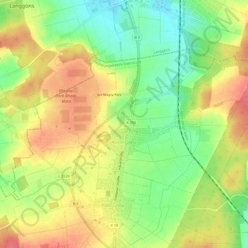
Name: Kirch-Göns topographic map, elevation, terrain.
Location: Kirch-Göns, Butzbach, Wetteraukreis, Hessen, Deutschland (50.46248 8.62664 50.48530 8.68570)
Average elevation: 774 ft
Minimum elevation: 646 ft
Maximum elevation: 896 ft