
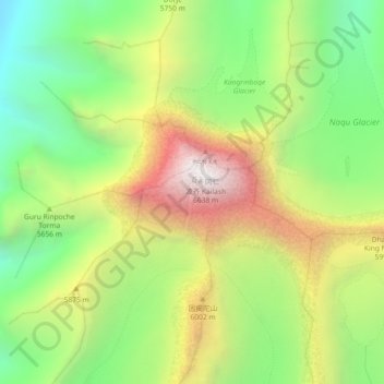
冈仁波齐 topographic map
Interactive map
Click on the map to display elevation.
About this map
Name: 冈仁波齐 topographic map, elevation, terrain.
Location: 冈仁波齐, 巴噶乡, 普兰县, 阿里地区, 西藏自治区, 中国 (31.05468 81.30043 31.07660 81.34583)
Average elevation: 18,465 ft
Minimum elevation: 16,093 ft
Maximum elevation: 21,604 ft
Other topographic maps
Click on a map to view its topography, its elevation and its terrain.