Geolocate

Summerland Key topographic map

Click on the map to display elevation.

About this map

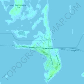
Name: Summerland Key topographic map, elevation, terrain.

Location: Summerland Key, Monroe County, Florida, United States (24.64270 -81.46406 24.68646 -81.43556)

Average elevation: 0 ft

Minimum elevation: -3 ft

Maximum elevation: 23 ft

Monroe County trails, hiking, mountain biking, running and outdoor activities

Gear up for your next adventure:

🛌Ultralight Sleeping Bags - Compact down bags for cold nights in the wilderness
🗻Climbing Gear Basics - Essential gear for beginner climbers
🚑Emergency Bivvies - Heat-reflective sleeping bags for survival situations
🪶Camping Sleeping Pad - Comfortable sleeping pad for backpacking
🪶Wildlife Field Guides - Learn animal tracking and species ID

As an Amazon Associate, this site earns from qualifying purchases at no extra cost to you.