
Belmont Cragin topographic map
Interactive map
Click on the map to display elevation.
About this map
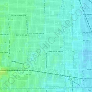
Name: Belmont Cragin topographic map, elevation, terrain.
Average elevation: 617 ft
Minimum elevation: 604 ft
Maximum elevation: 643 ft
Cook County trails, hiking, mountain biking, running and outdoor activities
Other topographic maps
Click on a map to view its topography, its elevation and its terrain.
North Pond Nature Sanctuary
United States > Illinois > Cook County > Chicago
Average elevation: 597 ft