Geolocate

Astore topographic map

Click on the map to display elevation.

About this map

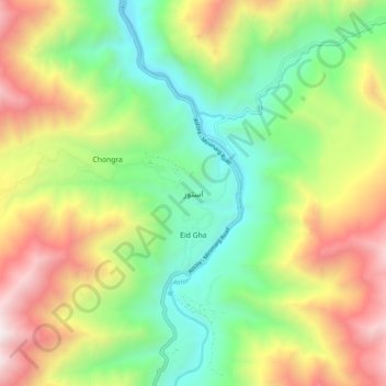
Name: Astore topographic map, elevation, terrain.

Location: Astore, Gilgit-Baltistan, Pakistan (35.31662 74.81698 35.39662 74.89698)

Average elevation: 9,583 ft

Minimum elevation: 6,942 ft

Maximum elevation: 13,579 ft

Gear up for your next adventure:

🥾Hiking Shoes - Durable and comfortable shoes for trail hiking
🌐World Map Poster - Decorative world maps with topographic info
🧭Pro Hiking Compasses - High-accuracy liquid-filled compasses for topographic orientation
🏕️Family Camping Gear - Essentials for group camping trips
🪶Paracord Bracelet - Survival bracelet with built‑in tools

As an Amazon Associate, this site earns from qualifying purchases at no extra cost to you.