
Point Lookout topographic map
Click on the map to display elevation.
About this map
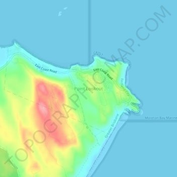
Name: Point Lookout topographic map, elevation, terrain.
Location: Point Lookout, Queensland, Australia (-27.45130 153.51324 -27.41130 153.55324)
Average elevation: 72 ft
Minimum elevation: -7 ft
Maximum elevation: 358 ft