
Rödlas topographic map
Click on the map to display elevation.
Rödlas
Das Kirchdorf im Nordwesten der Gräfenberger Flächenalb liegt etwa viereinhalb Kilometer ostnordöstlich des Ortszentrums von Neunkirchen am Brand auf einer Höhe von 390 m ü. NHN.
About this map
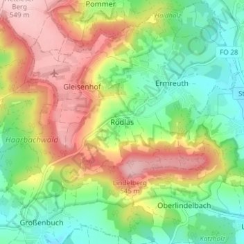
Name: Rödlas topographic map, elevation, terrain.
Average elevation: 1,411 ft
Minimum elevation: 1,122 ft
Maximum elevation: 1,801 ft