
Provincia de Concepción topographic map
Interactive map
Click on the map to display elevation.
About this map
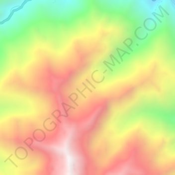
Name: Provincia de Concepción topographic map, elevation, terrain.
Location: Provincia de Concepción, Comas, Concepción, Junín, Perú (-11.76395 -75.12025 -11.72395 -75.08025)
Average elevation: 13,333 ft
Minimum elevation: 10,817 ft
Maximum elevation: 15,453 ft
Other topographic maps
Click on a map to view its topography, its elevation and its terrain.