
Athabasca Glacier topographic map
Interactive map
Click on the map to display elevation.
About this map
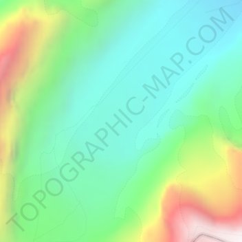
Name: Athabasca Glacier topographic map, elevation, terrain.
Average elevation: 8,146 ft
Minimum elevation: 6,811 ft
Maximum elevation: 11,181 ft
Other topographic maps
Click on a map to view its topography, its elevation and its terrain.
Roche Noir
Canada > Alberta > Improvement District No. 12
Roche Noir, Improvement District No. 12, Alberta, Canada
Average elevation: 7,566 ft
Maligne Lake
Canada > Alberta > Improvement District No. 12
Maligne Lake, Improvement District No. 12, Alberta, Canada
Average elevation: 6,972 ft
Angel Glacier
Canada > Alberta > Improvement District No. 12
Angel Glacier, Improvement District No. 12, Alberta, Canada
Average elevation: 8,215 ft