
Make a donation
Gear up for your next adventure:
As an Amazon Associate, this site earns from qualifying purchases at no extra cost to you.
Zambezi topographic map
Click on the map to display elevation.
Make a donation
Gear up for your next adventure:
As an Amazon Associate, this site earns from qualifying purchases at no extra cost to you.
Zambezi
The river flows to the southwest into Angola for about 240 kilometres (150 mi), then is joined by sizeable tributaries such as the Luena and the Chifumage flowing from highlands to the north-west. It turns south and develops a floodplain, with extreme width variation between the dry and rainy seasons. It enters dense evergreen Cryptosepalum dry forest, though on its western side, Western Zambezian grasslands also occur. Where it re-enters Zambia it is nearly 400 metres (1,300 ft) wide in the rainy season and flows rapidly, with rapids ending in the Chavuma Falls, where the river flows through a rocky fissure. The river drops about 400 metres (1,300 ft) in elevation from its source at 1,500 metres (4,900 ft) to the Chavuma Falls at 1,100 metres (3,600 ft), in a distance of about 400 kilometres (250 mi). From this point to the Victoria Falls, the level of the basin is very uniform, dropping only by another 180 metres (590 ft) in a distance of around 800 kilometres (500 mi).
Make a donation
Gear up for your next adventure:
As an Amazon Associate, this site earns from qualifying purchases at no extra cost to you.
About this map
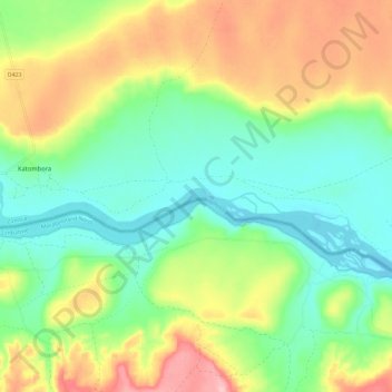
Name: Zambezi topographic map, elevation, terrain.
Average elevation: 3,169 ft
Minimum elevation: 2,976 ft
Maximum elevation: 3,484 ft
Make a donation
Gear up for your next adventure:
As an Amazon Associate, this site earns from qualifying purchases at no extra cost to you.