
Hamlet topographic map
Interactive map
Click on the map to display elevation.
About this map
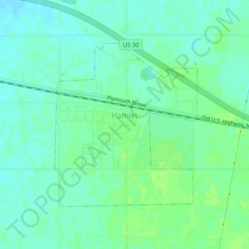
Name: Hamlet topographic map, elevation, terrain.
Location: Hamlet, Starke County, Indiana, United States (41.37103 -86.59261 41.38875 -86.57201)
Average elevation: 699 ft
Minimum elevation: 679 ft
Maximum elevation: 715 ft
Other topographic maps
Click on a map to view its topography, its elevation and its terrain.
Koontz Lake
United States > Indiana > Starke County
Koontz Lake, Starke County, Indiana, United States
Average elevation: 725 ft
North Judson
United States > Indiana > Starke County
North Judson, Starke County, Indiana, 46366, United States
Average elevation: 705 ft
Bass Lake
United States > Indiana > Starke County
Bass Lake, Starke County, Indiana, 45534, United States
Average elevation: 722 ft
Knox
United States > Indiana > Starke County > Knox
Knox, Starke County, Indiana, United States
Average elevation: 709 ft
Grovertown
United States > Indiana > Starke County > Grovertown
Grovertown, Starke County, Indiana, 46531, United States
Average elevation: 725 ft