Geolocate

Grovertown topographic map

Click on the map to display elevation.

About this map

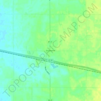
Name: Grovertown topographic map, elevation, terrain.

Location: Grovertown, Starke County, Indiana, 46531, United States (41.35504 -86.52473 41.39504 -86.48473)

Average elevation: 725 ft

Minimum elevation: 696 ft

Maximum elevation: 761 ft

Starke County trails, hiking, mountain biking, running and outdoor activities

Gear up for your next adventure:

🎒Outdoor Daypacks - Lightweight backpacks designed for carrying maps and essential gear
🛏️Cold Weather Sleeping Bag - Warm sleeping bag for cold conditions
🏔️Mountain Trail Maps - High‑detail maps for popular peaks
🔦Compact Flashlight - Reliable flashlight for emergencies
💧Water Purification System - Clean water on the trail with reliable purifiers

As an Amazon Associate, this site earns from qualifying purchases at no extra cost to you.