
Bahri topographic map
Interactive map
Click on the map to display elevation.
About this map
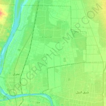
Name: Bahri topographic map, elevation, terrain.
Location: Bahri, Khartum, Sudan (15.60006 32.50743 15.75657 32.66767)
Average elevation: 1,260 ft
Minimum elevation: 1,217 ft
Maximum elevation: 1,332 ft
Other topographic maps
Click on a map to view its topography, its elevation and its terrain.