
بحري topographic map
Interactive map
Click on the map to display elevation.
About this map
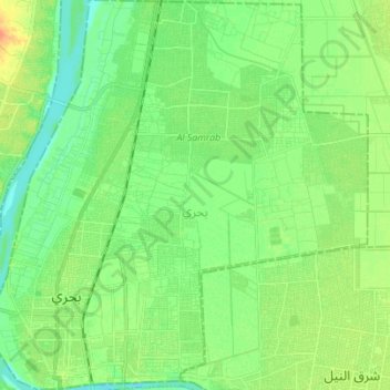
Name: بحري topographic map, elevation, terrain.
Location: بحري, Khartum, Sudan (15.61560 32.50734 15.74897 32.64175)
Average elevation: 1,263 ft
Minimum elevation: 1,217 ft
Maximum elevation: 1,447 ft
Other topographic maps
Click on a map to view its topography, its elevation and its terrain.