
Saint Paul topographic map
Click on the map to display elevation.
About this map
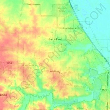
Name: Saint Paul topographic map, elevation, terrain.
Location: Saint Paul, Saint Charles County, Missouri, United States (38.81715 -90.77226 38.88669 -90.70725)
Average elevation: 515 ft
Minimum elevation: 417 ft
Maximum elevation: 623 ft
Saint Charles County trails, hiking, mountain biking, running and outdoor activities
Other topographic maps
Click on a map to view its topography, its elevation and its terrain.
Dardenne
United States > Missouri > Saint Charles County > Dardenne Prairie > Dardenne
Average elevation: 597 ft