Geolocate

dedan topographic map

Click on the map to display elevation.

About this map

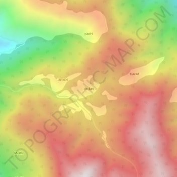
Name: dedan topographic map, elevation, terrain.

Location: dedan, Doda, Doda District, Jammu and Kashmir, India (33.06636 75.48157 33.10636 75.52157)

Average elevation: 7,641 ft

Minimum elevation: 4,885 ft

Maximum elevation: 9,573 ft

Gear up for your next adventure:

🔦Powerful Headlamps - Ultra-bright hands-free lighting for night navigation
🏕️Family Camping Gear - Essentials for group camping trips
🩹Survival Bandages - High‑quality bandages for emergencies
🚗GPS Dash Cams - Record your scenic drives through mountain passes and canyons
🔌Solar Panel Charger - Charge gear sustainably outdoors

As an Amazon Associate, this site earns from qualifying purchases at no extra cost to you.