
Thank you for supporting this site ❤️
Make a donation
Make a donation
Gear up for your next adventure:
As an Amazon Associate, this site earns from qualifying purchases at no extra cost to you.
Riudaura topographic map
Click on the map to display elevation.
Thank you for supporting this site ❤️
Make a donation
Make a donation
Gear up for your next adventure:
As an Amazon Associate, this site earns from qualifying purchases at no extra cost to you.
About this map
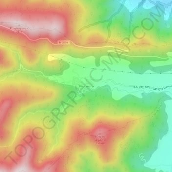
Name: Riudaura topographic map, elevation, terrain.
Location: Riudaura, Garrotxa, Gerona, Catalonië, 17179, Spanje (42.16873 2.38938 42.20873 2.42938)
Average elevation: 2,306 ft
Minimum elevation: 1,270 ft
Maximum elevation: 3,376 ft
Thank you for supporting this site ❤️
Make a donation
Make a donation
Gear up for your next adventure:
As an Amazon Associate, this site earns from qualifying purchases at no extra cost to you.