
Thank you for supporting this site ❤️
Make a donation
Make a donation
Gear up for your next adventure:
As an Amazon Associate, this site earns from qualifying purchases at no extra cost to you.
Bezeguimbra topographic map
Click on the map to display elevation.
Thank you for supporting this site ❤️
Make a donation
Make a donation
Gear up for your next adventure:
As an Amazon Associate, this site earns from qualifying purchases at no extra cost to you.
About this map
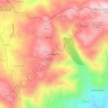
Name: Bezeguimbra topographic map, elevation, terrain.
Location: Bezeguimbra, Valdreu, Vila Verde, Braga, 4730-012, Portugal (41.72762 -8.36587 41.76762 -8.32587)
Average elevation: 1,847 ft
Minimum elevation: 538 ft
Maximum elevation: 2,618 ft
Thank you for supporting this site ❤️
Make a donation
Make a donation
Gear up for your next adventure:
As an Amazon Associate, this site earns from qualifying purchases at no extra cost to you.
Other topographic maps
Click on a map to view its topography, its elevation and its terrain.