Geolocate

Silver Lake topographic map

Click on the map to display elevation.

About this map

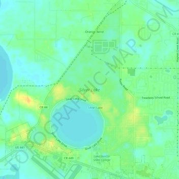
Name: Silver Lake topographic map, elevation, terrain.

Location: Silver Lake, Lake County, Florida, United States (28.82378 -81.81720 28.86903 -81.78706)

Average elevation: 82 ft

Minimum elevation: 49 ft

Maximum elevation: 135 ft

Gear up for your next adventure:

🧷Carabiner Set - Durable clips for gear attachment
🕶️GPS Smartphone Mount - Secure mount for phone navigation
🧥Waterproof Jacket for Hiking - Breathable and rugged rain jacket for outdoor excursions
GPS Sports Watch - GPS watch for running, hiking and training
🧭Hiking Compass - Precision compass for reliable navigation in the wilderness

As an Amazon Associate, this site earns from qualifying purchases at no extra cost to you.