Geolocate

Al Mashayikh topographic map

Click on the map to display elevation.

About this map

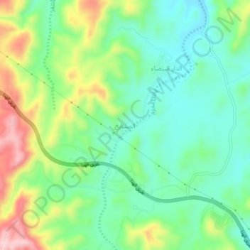
Name: Al Mashayikh topographic map, elevation, terrain.

Location: Al Mashayikh, Al Taif, Makkah Region, 9999, Saudi Arabia (21.33306 40.30673 21.37306 40.34673)

Average elevation: 6,106 ft

Minimum elevation: 5,830 ft

Maximum elevation: 6,644 ft

Gear up for your next adventure:

🔦Compact Flashlight - Reliable flashlight for emergencies
🪵Folding Camp Saw - Compact saw for wood and campsite work
📖Nature Tracking Books - Learn to track wildlife and terrain
⛑️Personal Locator Beacon - Safety beacon for emergencies
🧭Outdoor Navigation Book - Learn advanced navigation skills

As an Amazon Associate, this site earns from qualifying purchases at no extra cost to you.