
Thank you for supporting this site ❤️
Make a donation
Make a donation
Gear up for your next adventure:
As an Amazon Associate, this site earns from qualifying purchases at no extra cost to you.
Girandurukotte topographic map
Click on the map to display elevation.
Thank you for supporting this site ❤️
Make a donation
Make a donation
Gear up for your next adventure:
As an Amazon Associate, this site earns from qualifying purchases at no extra cost to you.
About this map
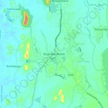
Name: Girandurukotte topographic map, elevation, terrain.
Location: Girandurukotte, Badulla District, Uva Province, Sri Lanka (7.42936 80.97530 7.50936 81.05530)
Average elevation: 315 ft
Minimum elevation: 233 ft
Maximum elevation: 745 ft
Thank you for supporting this site ❤️
Make a donation
Make a donation
Gear up for your next adventure:
As an Amazon Associate, this site earns from qualifying purchases at no extra cost to you.