
South-West Oxford topographic map
Interactive map
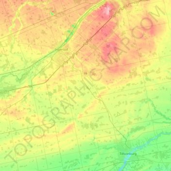
Click on the map to display elevation.
About this map
Name: South-West Oxford topographic map, elevation, terrain.
Average elevation: 922 ft
Minimum elevation: 659 ft
Maximum elevation: 1,273 ft
In its wilderness state, the former Dereham township had thousands of acres of swamp and marsh land which limited its use for agriculture. Several large drainage projects brought great improvement and remain as essential parts of the township's farmland infrastructure. The township topography still has several large forested areas which are remnants of the original swamps on which drainage system runoff is concentrated.
Other topographic maps
Click on a map to view its topography, its elevation and its terrain.
Sweaburg
Canada > Ontario > Oxford County > South-West Oxford
Sweaburg, South-West Oxford, Oxford County, Ontario, N0J 1A0, Canada
Average elevation: 1,040 ft
Mount Elgin
Canada > Ontario > Oxford County > South-West Oxford
Mount Elgin, South-West Oxford, Oxford County, Ontario, N0J 1N0, Canada
Average elevation: 922 ft
Salford
Canada > Ontario > Oxford County > South-West Oxford
Salford, South-West Oxford, Oxford County, Southwestern Ontario, Ontario, N5C 3J8, Canada
Average elevation: 955 ft
Beachville
Canada > Ontario > Oxford County > South-West Oxford
Beachville, South-West Oxford, Oxford County, Southwestern Ontario, Ontario, N5C 3K1, Canada
Average elevation: 994 ft