
Royal Forest topographic map
Click on the map to display elevation.
About this map
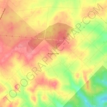
Name: Royal Forest topographic map, elevation, terrain.
Location: Royal Forest, Comal County, Texas, United States (29.82800 -98.10723 29.86800 -98.06723)
Average elevation: 1,004 ft
Minimum elevation: 827 ft
Maximum elevation: 1,099 ft
Comal County trails, hiking, mountain biking, running and outdoor activities