Geolocate

Montpelier topographic map

Click on the map to display elevation.

About this map

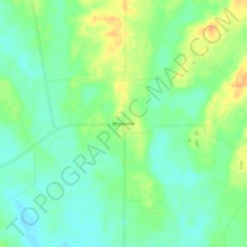
Name: Montpelier topographic map, elevation, terrain.

Location: Montpelier, Clay County, Mississippi, United States (33.69790 -88.96784 33.73790 -88.92784)

Average elevation: 282 ft

Minimum elevation: 236 ft

Maximum elevation: 344 ft

Clay County trails, hiking, mountain biking, running and outdoor activities

Gear up for your next adventure:

🔦LED Headlamp - Bright and durable LED headlamp for night navigation
🧴Hand Sanitizer - Keep hands clean while hiking
🥾Hiking Shoes - Durable and comfortable shoes for trail hiking
🧥Waterproof Jacket for Hiking - Breathable and rugged rain jacket for outdoor excursions
🛏️Cold Weather Sleeping Bag - Warm sleeping bag for cold conditions

As an Amazon Associate, this site earns from qualifying purchases at no extra cost to you.