
Thank you for supporting this site ❤️
Make a donation
Make a donation
Gear up for your next adventure:
As an Amazon Associate, this site earns from qualifying purchases at no extra cost to you.
Lincoln topographic map
Click on the map to display elevation.
Thank you for supporting this site ❤️
Make a donation
Make a donation
Gear up for your next adventure:
As an Amazon Associate, this site earns from qualifying purchases at no extra cost to you.
About this map
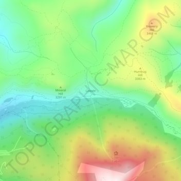
Name: Lincoln topographic map, elevation, terrain.
Location: Lincoln, Summit County, Colorado, États-Unis d'Amérique (39.46749 -106.00557 39.50749 -105.96557)
Average elevation: 10,755 ft
Minimum elevation: 9,941 ft
Maximum elevation: 12,064 ft
Thank you for supporting this site ❤️
Make a donation
Make a donation
Gear up for your next adventure:
As an Amazon Associate, this site earns from qualifying purchases at no extra cost to you.