Geolocate

Swamp topographic map

Click on the map to display elevation.

About this map

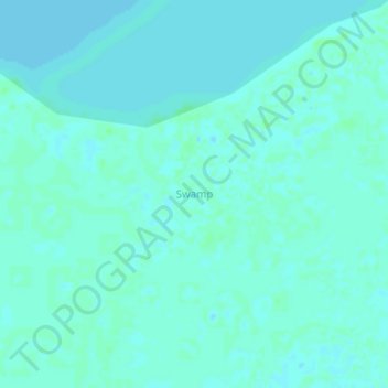
Name: Swamp topographic map, elevation, terrain.

Location: Swamp, Masaka, Central Region, Uganda (-0.42058 31.87537 -0.38058 31.91537)

Average elevation: 3,737 ft

Minimum elevation: 3,727 ft

Maximum elevation: 3,750 ft

Gear up for your next adventure:

☀️Outdoor Sunscreen - High protection sunscreen for outdoor activities
🎒Hydration Pack - Hands‑free water reservoir for long hikes
🔦LED Headlamp - Bright and durable LED headlamp for night navigation
🧢Outdoor Hiking Hat - Sun protection hat for outdoor explorers
🪶Trail Camera - Capture wildlife on your hikes

As an Amazon Associate, this site earns from qualifying purchases at no extra cost to you.