Geolocate

Chata topographic map

Click on the map to display elevation.

About this map

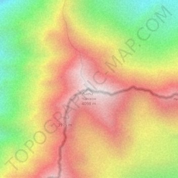
Name: Chata topographic map, elevation, terrain.

Location: Chata, Kazbegi Municipality, Mtskheta-Mtianeti, Georgia (42.75417 44.51390 42.75427 44.51400)

Average elevation: 11,362 ft

Minimum elevation: 8,937 ft

Maximum elevation: 13,383 ft

Gear up for your next adventure:

📚Navigation Handbooks - Master the art of reading topographic maps and using a compass
🗺️NatGeo Topo Maps - High-quality waterproof printed topographic maps of US Parks
🌐World Map Poster - Decorative world maps with topographic info
🔥Camping Stove - Portable stove for camping and backcountry cooking
🎒Trail Energy Bars - High‑calorie bars for hiking energy

As an Amazon Associate, this site earns from qualifying purchases at no extra cost to you.