Imilchil topographic map
Click on the map to display elevation.
Imilchil
It is located at an elevation of 2119 m in the valley of Asif Mellulen ("white river"). The area of Imilchil is home to the Ayt Hdiddu tribe, belonging to the Ait Yafelman confederation, and the inhabitants speak Central Atlas Tamazight. Tourist attractions in the area include the caves of Axyam (Akhyam), the Aguni waterfalls, the Ziz Gorges and Valley and the igherman castles (ksars) of the area.
About this map
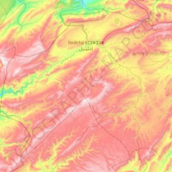
Name: Imilchil topographic map, elevation, terrain.
Average elevation: 8,150 ft
Minimum elevation: 5,266 ft
Maximum elevation: 10,554 ft
Other topographic maps
Click on a map to view its topography, its elevation and its terrain.