Geolocate

Uniontown topographic map

Click on the map to display elevation.

About this map

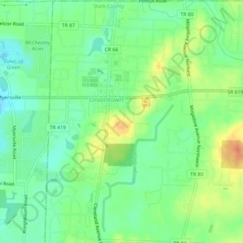
Name: Uniontown topographic map, elevation, terrain.

Location: Uniontown, Lake Township, Stark County, Ohio, United States (40.95750 -81.41750 40.98853 -81.39158)

Average elevation: 1,135 ft

Minimum elevation: 1,070 ft

Maximum elevation: 1,240 ft

Stark County trails, hiking, mountain biking, running and outdoor activities

Other topographic maps

Click on a map to view its topography, its elevation and its terrain.

Mount Pleasant

United States > Ohio > Stark County

Average elevation: 1,155 ft

Deer Creek

United States > Ohio > Stark County > Lexington

Average elevation: 1,047 ft

Sippo Heights

United States > Ohio > Stark County > Massillon

Average elevation: 1,043 ft

Lake Cable

United States > Ohio > Stark County

Average elevation: 1,115 ft

North Industry

United States > Ohio > Stark County

Average elevation: 1,093 ft

New Franklin

United States > Ohio > Stark County

Average elevation: 1,198 ft

Gear up for your next adventure:

🦶Carbon Trekking Poles - Reduce knee impact on steep descents with ultra-light poles
🪶Thermal Camp Blanket - Extra warmth for cold nights
💧Water Purification System - Clean water on the trail with reliable purifiers
🪶LED Camping Lantern - Bright lantern for camp lighting
👓Polarized Sunglasses - Outdoor sunglasses for glare reduction

As an Amazon Associate, this site earns from qualifying purchases at no extra cost to you.