
海滨街道 topographic map
Interactive map
Click on the map to display elevation.
About this map
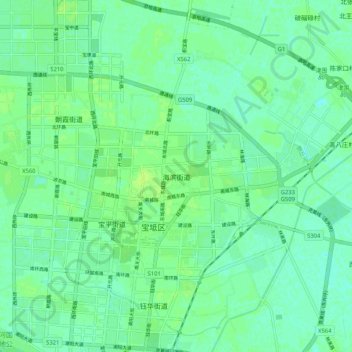
Name: 海滨街道 topographic map, elevation, terrain.
Location: 海滨街道, 宝坻区, 天津市, 中国 (39.68726 117.27021 39.76726 117.35021)
Average elevation: 23 ft
Minimum elevation: 7 ft
Maximum elevation: 39 ft
Other topographic maps
Click on a map to view its topography, its elevation and its terrain.