
口东镇 topographic map
Interactive map
Click on the map to display elevation.
About this map
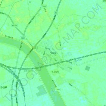
Name: 口东镇 topographic map, elevation, terrain.
Location: 口东镇, 宝坻区, 天津市, 中国 (39.61681 117.32343 39.69681 117.40343)
Average elevation: 20 ft
Minimum elevation: 3 ft
Maximum elevation: 30 ft
Other topographic maps
Click on a map to view its topography, its elevation and its terrain.