Geolocate

Kaler topographic map

Click on the map to display elevation.

About this map

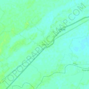
Name: Kaler topographic map, elevation, terrain.

Location: Kaler, Arwal, Bihar, 824127, India (25.09727 84.47589 25.13727 84.51589)

Average elevation: 279 ft

Minimum elevation: 266 ft

Maximum elevation: 295 ft

Gear up for your next adventure:

🛡️Insect Repellent - Protection against bugs during outdoor activities
🔦Compact Flashlight - Reliable flashlight for emergencies
📦Gear Storage Bags - Organize and protect outdoor equipment
🩹Survival Bandages - High‑quality bandages for emergencies
🔦LED Headlamp - Bright and durable LED headlamp for night navigation

As an Amazon Associate, this site earns from qualifying purchases at no extra cost to you.