
雷河 topographic map
Interactive map
Click on the map to display elevation.
About this map
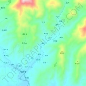
Name: 雷河 topographic map, elevation, terrain.
Location: 雷河, 新县, 息县, 信阳市, 河南省, 中国 (31.55179 114.73628 31.59179 114.77628)
Average elevation: 656 ft
Minimum elevation: 361 ft
Maximum elevation: 1,522 ft
Other topographic maps
Click on a map to view its topography, its elevation and its terrain.