
Kherlen topographic map
Interactive map
Click on the map to display elevation.
About this map
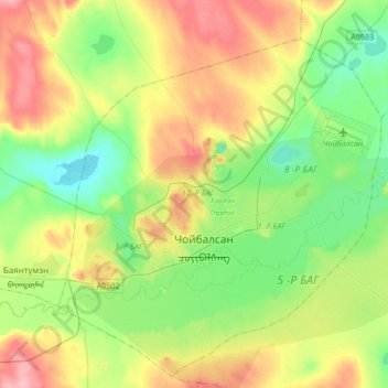
Name: Kherlen topographic map, elevation, terrain.
Location: Kherlen, Dornod, Mongolia (48.01001 114.33695 48.19041 114.67532)
Average elevation: 2,493 ft
Minimum elevation: 2,343 ft
Maximum elevation: 2,740 ft
Other topographic maps
Click on a map to view its topography, its elevation and its terrain.
Choibalsan
Mongolia > Dornod > Herlen > Choibalsan
Choibalsan, Herlen, Dornod, Mongolia
Average elevation: 2,500 ft