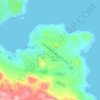
Thor Peak topographic map
Click on the map to display elevation.
Thor Peak
Mount Thor, officially gazetted as Thor Peak (Inuktitut: ᙯᕐᓱᐊᓗᒃ Qaisualuk "huge bedrock" or Inuktitut: ᑭᒍᑎᙳᐊᖅ Kigutinnguaq "resembles a tooth"), is a mountain with an elevation of 1,675 metres (5,495 ft) located in Auyuittuq National Park, on Baffin Island, Nunavut, Canada. The mountain is located 46 km (29 mi) northeast of Pangnirtung and features Earth's greatest vertical drop of 1,250 m (4,101 ft), with the cliff overhanging at an average angle of 15 degrees from vertical. Despite its remoteness, this feature makes the mountain a popular rock climbing site. Camping is allowed, with several designated campsites located throughout the length of Akshayuk Pass. For climbers looking to scale Mount Thor, there is an established campsite a few kilometres north of its base, complete with windbreaks and emergency shelters.
About this map
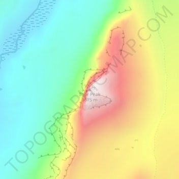
Name: Thor Peak topographic map, elevation, terrain.
Location: Thor Peak, Qikiqtaaluk Region, Nunavut, Canada (66.53798 -65.32036 66.53808 -65.32026)
Average elevation: 2,264 ft
Minimum elevation: 463 ft
Maximum elevation: 5,423 ft
Other topographic maps
Click on a map to view its topography, its elevation and its terrain.