
Sava topographic map
Interactive map
Click on the map to display elevation.
About this map
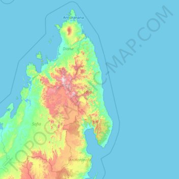
Name: Sava topographic map, elevation, terrain.
Location: Sava, Antsiranana Province, Madagascar (-16.89387 47.17340 -11.69387 52.37340)
Average elevation: 574 ft
Minimum elevation: 0 ft
Maximum elevation: 9,019 ft
Other topographic maps
Click on a map to view its topography, its elevation and its terrain.
Diana
Madagascar > Antsiranana Province
Diana, Antsiranana Province, Madagascar
Average elevation: 397 ft