
南桠河 topographic map
Interactive map
Click on the map to display elevation.
About this map
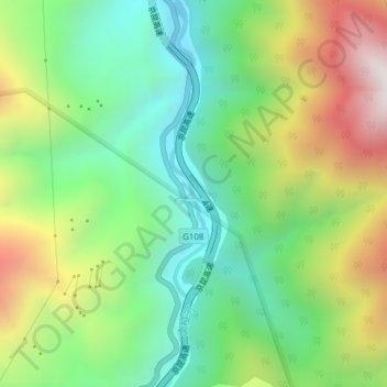
Name: 南桠河 topographic map, elevation, terrain.
Location: 南桠河, 石棉县, 雅安市, 石棉县, 四川省, 中国 (29.05931 102.33844 29.09274 102.34271)
Average elevation: 6,024 ft
Minimum elevation: 4,495 ft
Maximum elevation: 8,586 ft
Other topographic maps
Click on a map to view its topography, its elevation and its terrain.