
美罗镇 topographic map
Interactive map
Click on the map to display elevation.
About this map
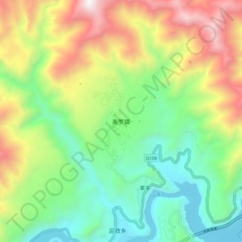
Name: 美罗镇 topographic map, elevation, terrain.
Location: 美罗镇, 石棉县, 雅安市, 四川省, 中国 (29.25990 102.40499 29.33990 102.48499)
Average elevation: 4,921 ft
Minimum elevation: 2,651 ft
Maximum elevation: 8,717 ft
Other topographic maps
Click on a map to view its topography, its elevation and its terrain.