
滕州市 topographic map
Interactive map
Click on the map to display elevation.
About this map
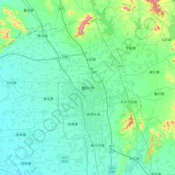
Name: 滕州市 topographic map, elevation, terrain.
Location: 滕州市, 枣庄市, 山东省, 277599, 中国 (34.95400 116.99991 35.27400 117.31991)
Average elevation: 282 ft
Minimum elevation: 108 ft
Maximum elevation: 1,270 ft
Other topographic maps
Click on a map to view its topography, its elevation and its terrain.