
Sunnymead Ranch Lake topographic map
Click on the map to display elevation.
About this map
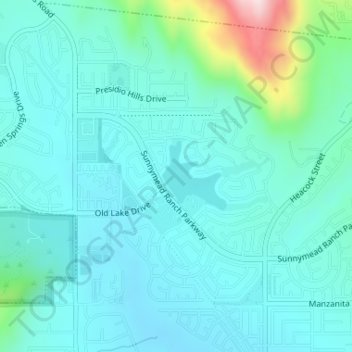
Name: Sunnymead Ranch Lake topographic map, elevation, terrain.
Average elevation: 1,886 ft
Minimum elevation: 1,683 ft
Maximum elevation: 2,907 ft
Riverside County trails, hiking, mountain biking, running and outdoor activities
Other topographic maps
Click on a map to view its topography, its elevation and its terrain.
Moreno Valley
United States > California > Riverside County > Moreno Valley
Average elevation: 1,621 ft