Geolocate

Talaba 3 topographic map

Click on the map to display elevation.

About this map

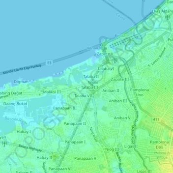
Name: Talaba 3 topographic map, elevation, terrain.

Location: Talaba 3, Bacoor, Cavite, Calabarzon, 4102, Philippines (14.44123 120.93833 14.48123 120.97833)

Average elevation: 16 ft

Minimum elevation: -7 ft

Maximum elevation: 59 ft

Gear up for your next adventure:

🌎3D Topographic Globes - Raised relief globes for a tactile understanding of geography
🧭Compass with Lanyard - Easy‑carry compass for navigation
🌡️Portable Weather Meter - Track weather conditions on the trail
🛌Ultralight Sleeping Bags - Compact down bags for cold nights in the wilderness
💧Water Purification System - Clean water on the trail with reliable purifiers

As an Amazon Associate, this site earns from qualifying purchases at no extra cost to you.