
La Preneuse topographic map
Click on the map to display elevation.
About this map
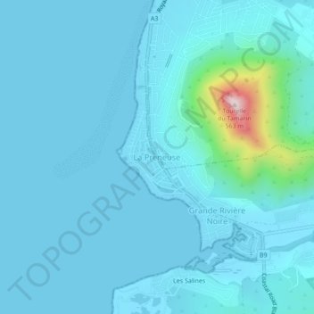
Name: La Preneuse topographic map, elevation, terrain.
Location: La Preneuse, Black River, 90608, Mauritius (-20.37456 57.34559 -20.33456 57.38559)
Average elevation: 148 ft
Minimum elevation: -3 ft
Maximum elevation: 1,759 ft