Geolocate

Plains topographic map

Click on the map to display elevation.

About this map

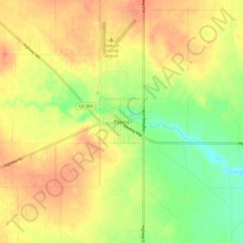
Name: Plains topographic map, elevation, terrain.

Location: Plains, Yoakum County, Texas, 79355, United States (33.14924 -102.86727 33.22924 -102.78727)

Average elevation: 3,661 ft

Minimum elevation: 3,576 ft

Maximum elevation: 3,720 ft

Gear up for your next adventure:

🪄Magnetic Compass - Accurate compass for navigation
Solar GPS Watches - Advanced multisport watches with built-in topographic maps
🌡️Handheld Weather Meters - Measure wind, temp, and pressure for safe mountain travel
🌎3D Topographic Globes - Raised relief globes for a tactile understanding of geography
🪵Folding Camp Saw - Compact saw for wood and campsite work

As an Amazon Associate, this site earns from qualifying purchases at no extra cost to you.