Geolocate

La Rastra topographic map

Click on the map to display elevation.

About this map

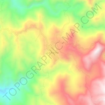
Name: La Rastra topographic map, elevation, terrain.

Location: La Rastra, Rosario, Sinaloa, Mexico (23.04985 -105.53817 23.08985 -105.49817)

Average elevation: 2,513 ft

Minimum elevation: 1,243 ft

Maximum elevation: 3,698 ft

Gear up for your next adventure:

🧭Map Reading Tools - Tools and kits for map navigation
📌Outdoor GPS Map App - Apps and devices for digital topographic navigation
🪶Survival Guide Book - Expert advice for emergency preparedness
🔥Camping Stove - Portable stove for camping and backcountry cooking
🪶Camp Gear Gift Set - Perfect gift bundle for outdoor fans

As an Amazon Associate, this site earns from qualifying purchases at no extra cost to you.