
Thank you for supporting this site ❤️
Make a donation
Make a donation
Gear up for your next adventure:
As an Amazon Associate, this site earns from qualifying purchases at no extra cost to you.
Ladeburg topographic map
Click on the map to display elevation.
Thank you for supporting this site ❤️
Make a donation
Make a donation
Gear up for your next adventure:
As an Amazon Associate, this site earns from qualifying purchases at no extra cost to you.
About this map
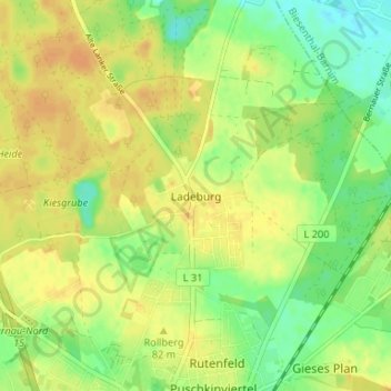
Name: Ladeburg topographic map, elevation, terrain.
Location: Ladeburg, Bernau, Barnim, Brandenburg, 16321, Deutschland (52.68393 13.56908 52.72393 13.60908)
Average elevation: 256 ft
Minimum elevation: 200 ft
Maximum elevation: 292 ft
Thank you for supporting this site ❤️
Make a donation
Make a donation
Gear up for your next adventure:
As an Amazon Associate, this site earns from qualifying purchases at no extra cost to you.