
Fockeberg topographic map
Interactive map
Click on the map to display elevation.
About this map
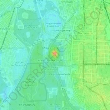
Name: Fockeberg topographic map, elevation, terrain.
Location: Fockeberg, Leipzig, Saxony, 04275, Germany (51.31709 12.36215 51.31719 12.36225)
Average elevation: 384 ft
Minimum elevation: 344 ft
Maximum elevation: 469 ft
Other topographic maps
Click on a map to view its topography, its elevation and its terrain.