Geolocate

Tongu topographic map

Click on the map to display elevation.

About this map

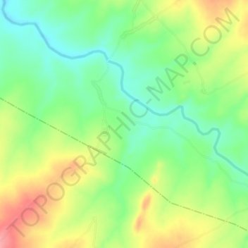
Name: Tongu topographic map, elevation, terrain.

Location: Tongu, Fufore, Adamawa State, Nigeria (8.76333 12.39667 8.80333 12.43667)

Average elevation: 1,070 ft

Minimum elevation: 935 ft

Maximum elevation: 1,253 ft

Gear up for your next adventure:

🧼Biodegradable Camping Soap - Eco‑friendly soap for outdoor hygiene
🧣Hiking Neck Gaiter - Multi‑use neck protection for outdoor weather
🪶Survival Guide Book - Expert advice for emergency preparedness
🥾Men's Hiking Boots - Durable, waterproof footwear for rugged terrain and steep inclines
🦶Hiking Gaiters - Keep debris and water out of your boots

As an Amazon Associate, this site earns from qualifying purchases at no extra cost to you.