
Anieves topographic map
Click on the map to display elevation.
About this map
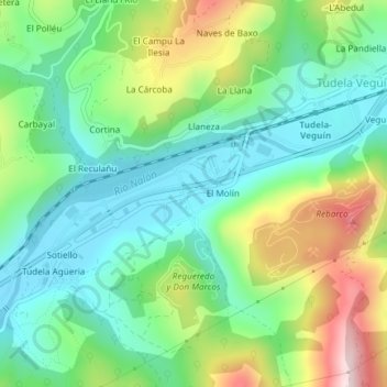
Name: Anieves topographic map, elevation, terrain.
Location: Anieves, Oviedo, Asturias, 33919, Spain (43.32242 -5.79567 43.32807 -5.78518)
Average elevation: 925 ft
Minimum elevation: 492 ft
Maximum elevation: 1,814 ft