
Thank you for supporting this site ❤️
Make a donation
Make a donation
Gear up for your next adventure:
As an Amazon Associate, this site earns from qualifying purchases at no extra cost to you.
Maneille topographic map
Click on the map to display elevation.
Thank you for supporting this site ❤️
Make a donation
Make a donation
Gear up for your next adventure:
As an Amazon Associate, this site earns from qualifying purchases at no extra cost to you.
About this map
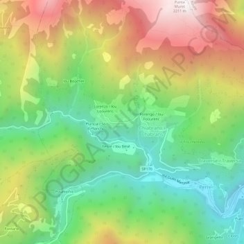
Name: Maneille topographic map, elevation, terrain.
Location: Maneille, Perrero, Turin, Piémont, Italie (44.92889 7.07479 44.96889 7.11479)
Average elevation: 4,501 ft
Minimum elevation: 2,552 ft
Maximum elevation: 7,221 ft
Thank you for supporting this site ❤️
Make a donation
Make a donation
Gear up for your next adventure:
As an Amazon Associate, this site earns from qualifying purchases at no extra cost to you.