
Thank you for supporting this site ❤️
Make a donation
Make a donation
Gear up for your next adventure:
As an Amazon Associate, this site earns from qualifying purchases at no extra cost to you.
Xamarta Hogeed topographic map
Click on the map to display elevation.
Thank you for supporting this site ❤️
Make a donation
Make a donation
Gear up for your next adventure:
As an Amazon Associate, this site earns from qualifying purchases at no extra cost to you.
About this map
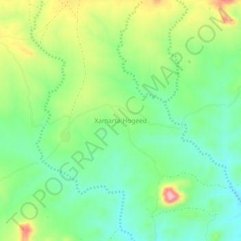
Name: Xamarta Hogeed topographic map, elevation, terrain.
Location: Xamarta Hogeed, Baki District, Awdal, Somaliland, Somalia (10.01911 43.60311 10.05911 43.64311)
Average elevation: 4,245 ft
Minimum elevation: 4,039 ft
Maximum elevation: 4,616 ft
Thank you for supporting this site ❤️
Make a donation
Make a donation
Gear up for your next adventure:
As an Amazon Associate, this site earns from qualifying purchases at no extra cost to you.